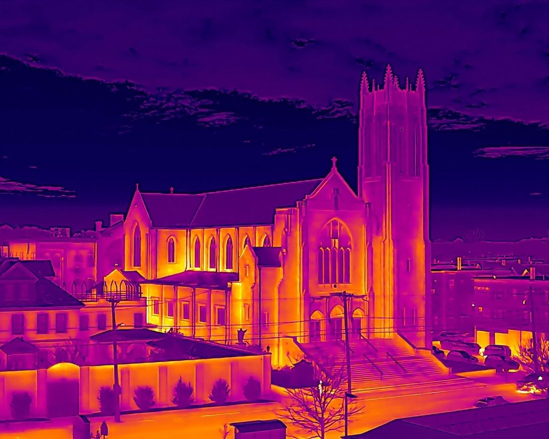
Thermal Inspection
Heat loss, moisture intrusion, and equipment anomalies detected safely from the air.

Services
Safe, efficient, and accurate. We utilize advanced drone technology to capture actionable data for your projects.

Thermal
Every surface emits radiation that can be detected by a thermal imager. Reading it from the air is how we find what a walk-through misses.
Flown and read by a Certified ThermographerInspect
Heat loss, moisture intrusion, and equipment anomalies detected safely from the air.
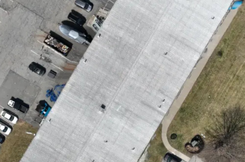
Shingle, membrane, and metal roofs mapped from above, at a resolution that resolves individual seams and penetrations.
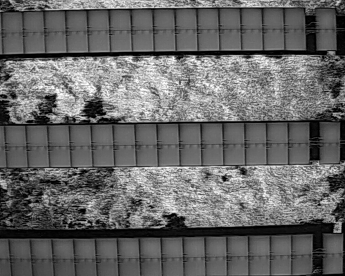
Array-level thermal scans that surface hot cells, string faults, and shading losses.
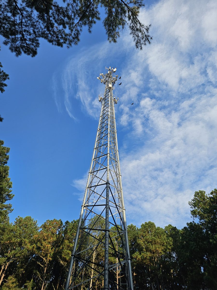
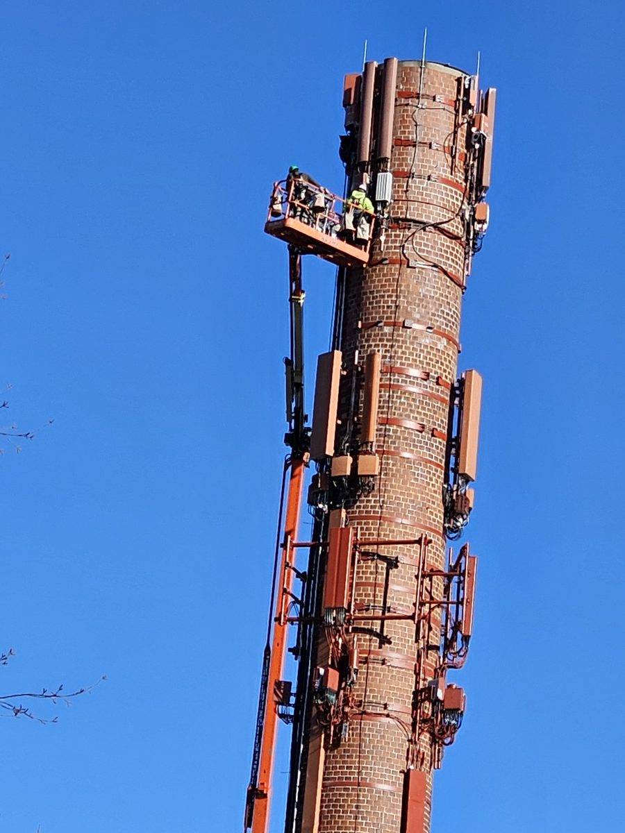
Close-range tower, antenna, and mount imagery without putting a climber on the structure.
Why from the air
A boom lift, a crew, and a weather window — to photograph hardware sitting a hundred feet up. We capture the same antennas, mounts, and cabling from the air, with nobody off the ground.
Aerial imagery doesn't replace hands-on repair. It tells you what needs hands before anyone goes up.
Analyze
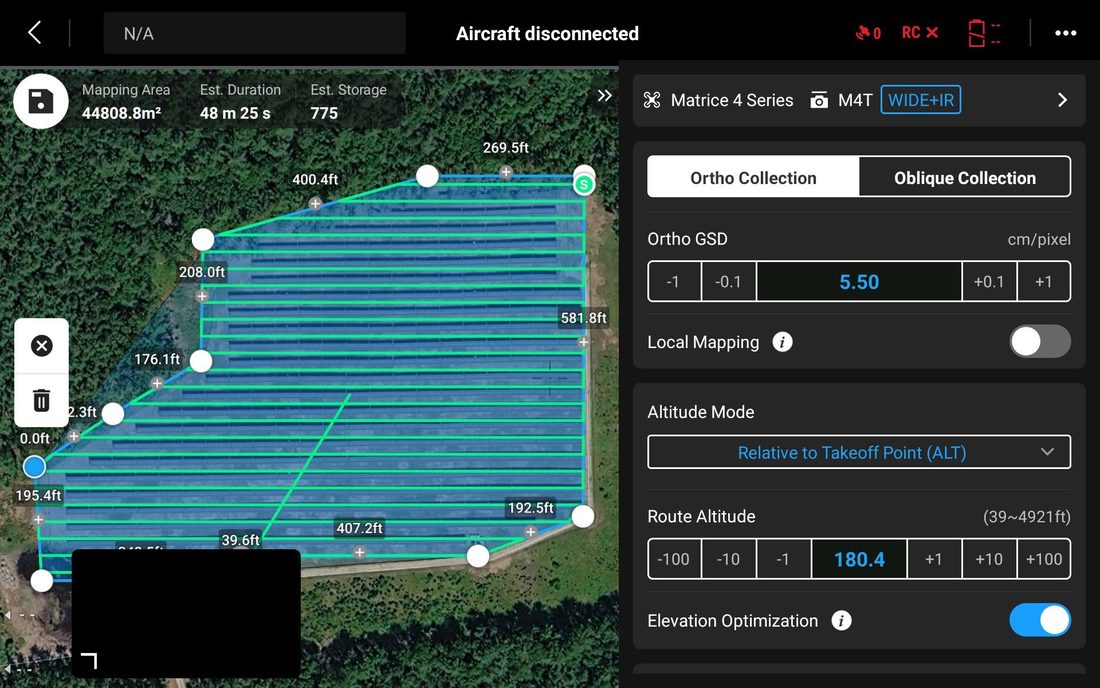
Overlapping aerial captures processed into measurable 3D models and point clouds.
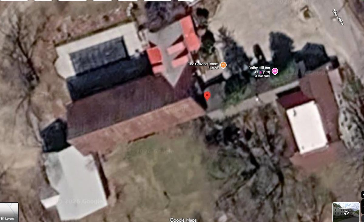
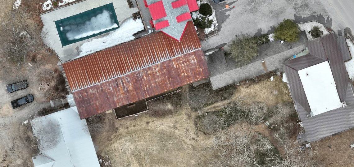
Hundreds of nadir frames stitched into one distortion-corrected, to-scale site map.
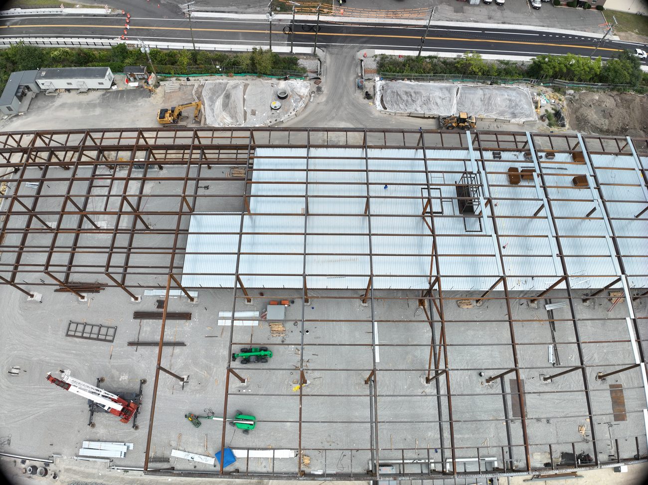
The same flight path flown on every visit, so each round is directly comparable to the last.
Orthomosaic · before and after
Locate
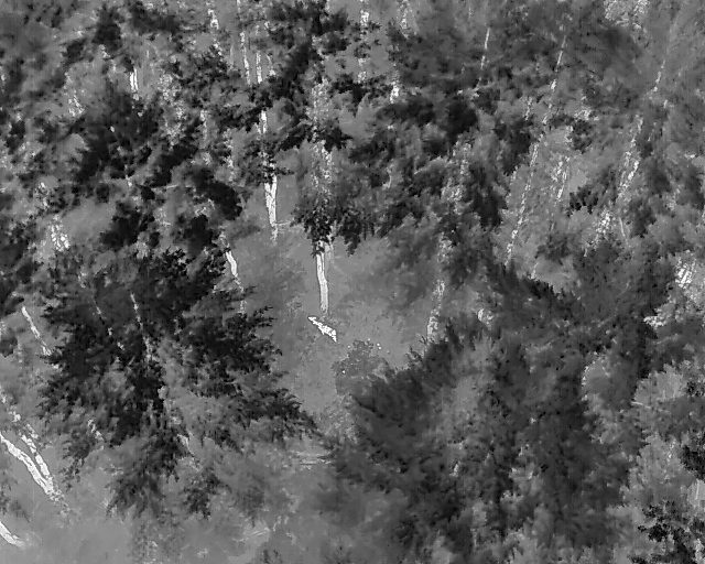
Thermal and visual sweeps across terrain that takes ground teams hours to cover.

Thermal flights over woods, fields, and neighborhoods to find a missing animal.
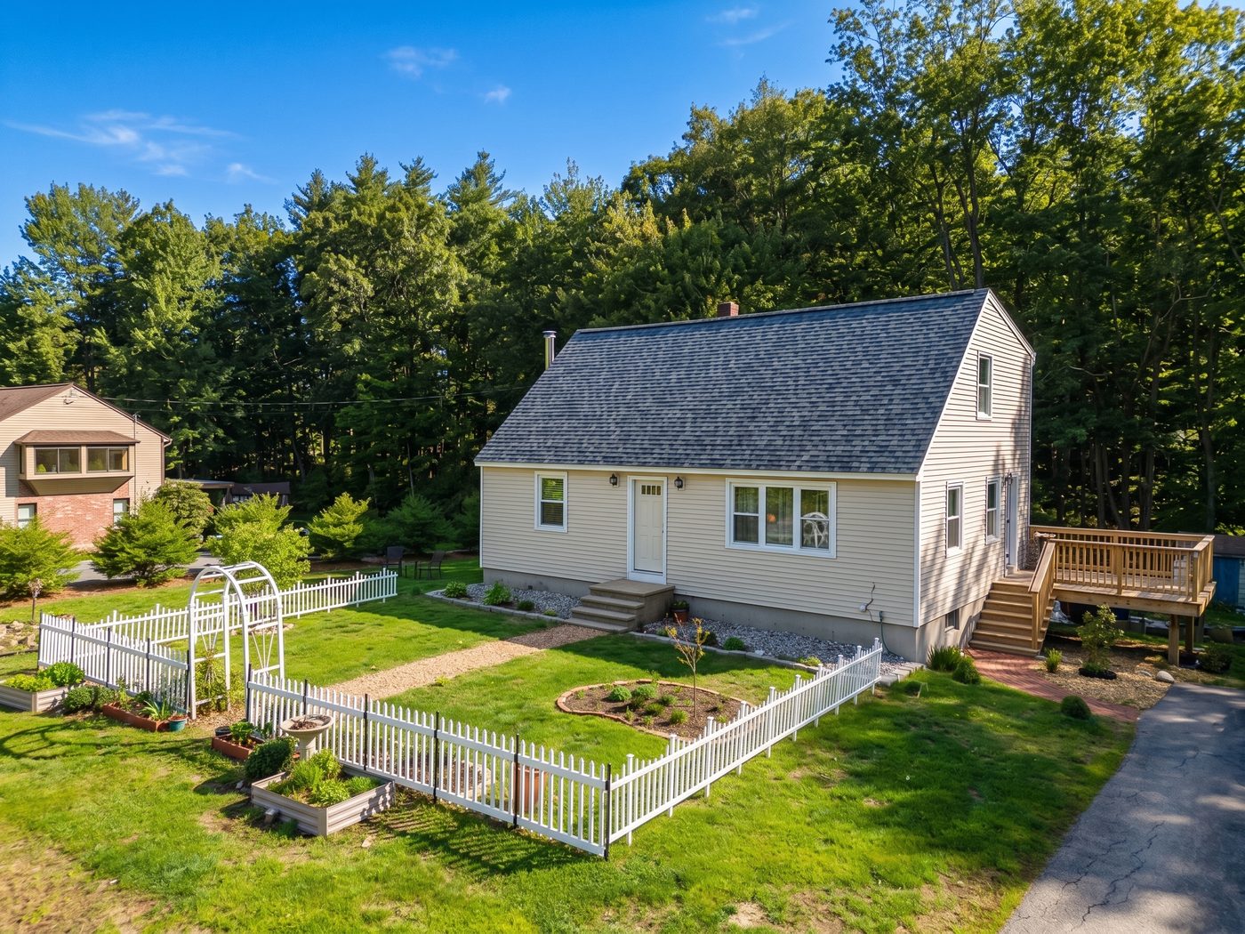
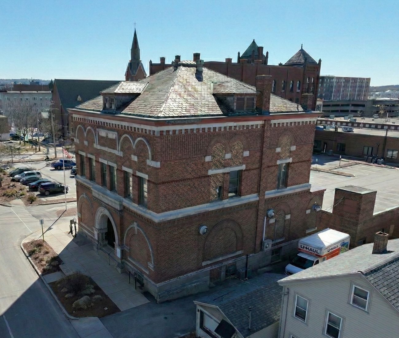
Homes and commercial property, shot from angles that show the building, the lot, and everything around it.
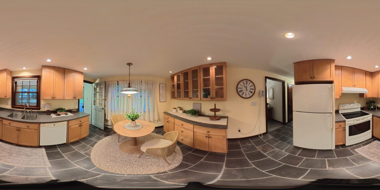
Navigable interior tours for listings and property records, room by room.
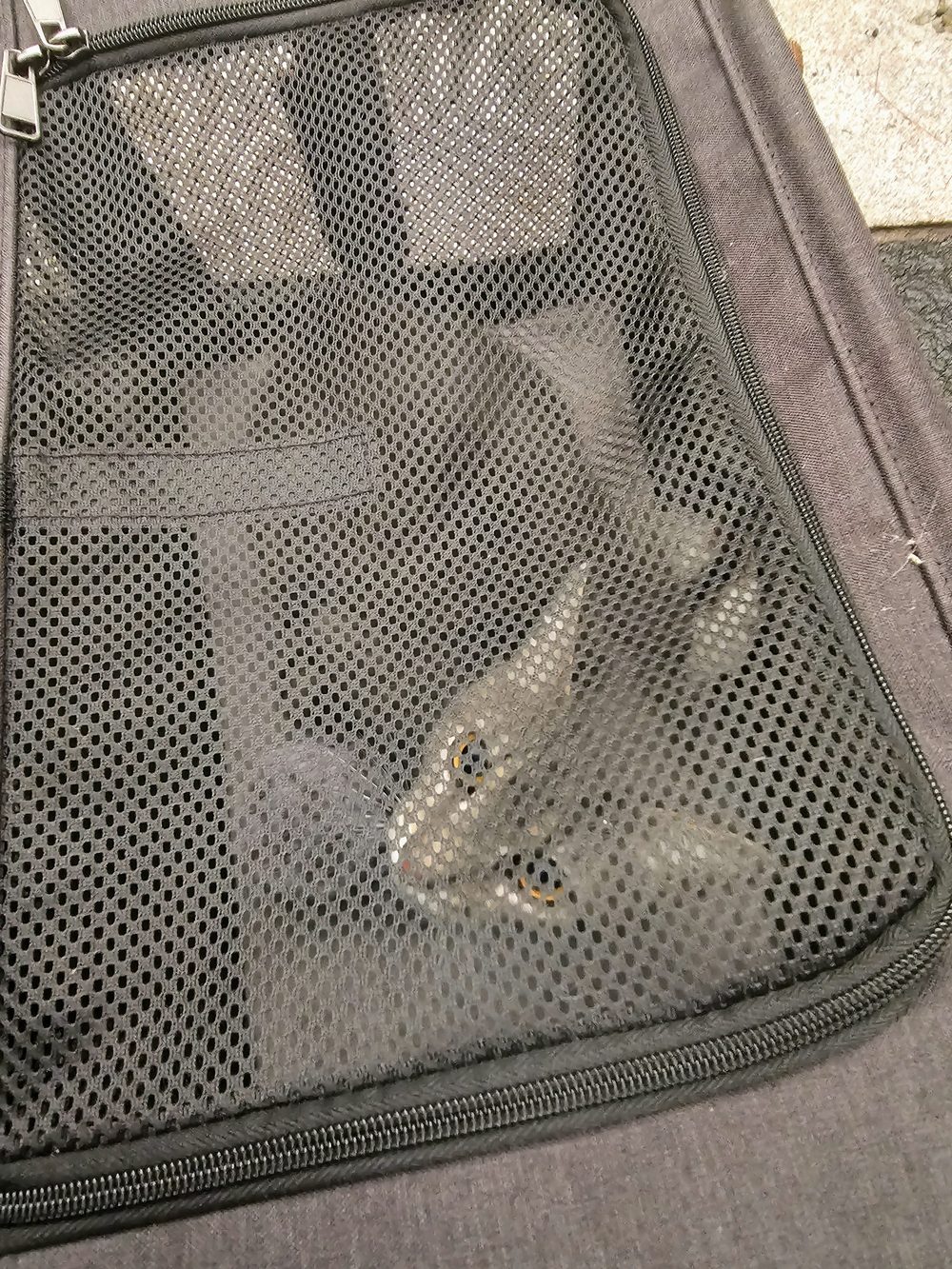
Why thermal finds them
As pet owners and animal lovers, Osprey understands how devastating it can be to lose a pet and not know where your loved one has gone.
A frightened animal hides where people cannot search and will not answer when called. A thermal camera does not need it to answer — it only needs a warm body against a cooler background, and it can cover a wooded acre faster than a family can walk it.
Contrast is sharpest at dawn or after dark, once the ground has given up the day's heat.
Free quote · Serving New England